Powerful typhoon to hit southern regions Saturday, Jeju damage feared

Wild waves reach the shore of Jeju Island, Friday. Yonhap
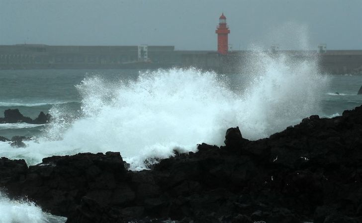
Waves break over a rocky shoreline on Jeju Island, Friday. Yonhap
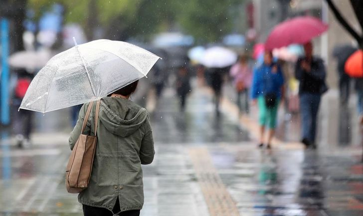
A woman takes cover from the rain under an umbrella near the Sejong Center for Performing Arts in downtown Seoul, Friday. / Yonhap
By Park Si-soo
Typhoon Kong-rey is barreling toward the Korean Peninsula faster than expected and will reach waters off the peninsula's southern regions Saturday morning.
Meteorologists cautiously predict the typhoon could make landfall at Busan.
As of 9 a.m. Friday, Kong-rey was 270 kilometers northwest of Japan's Okinawa and moving northwest at 25 kilometers an hour, according to the Korea Meteorological Administration (KMA).
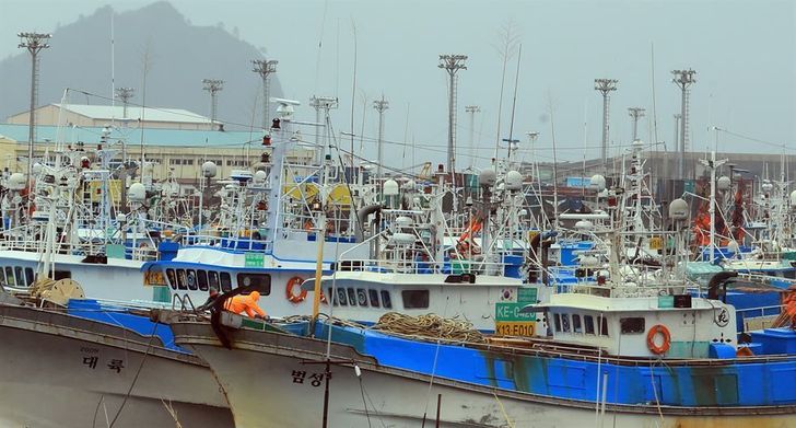
Fishing boats shelter in Jeju Island's Seogwipo harbor on Friday. / Yonhap
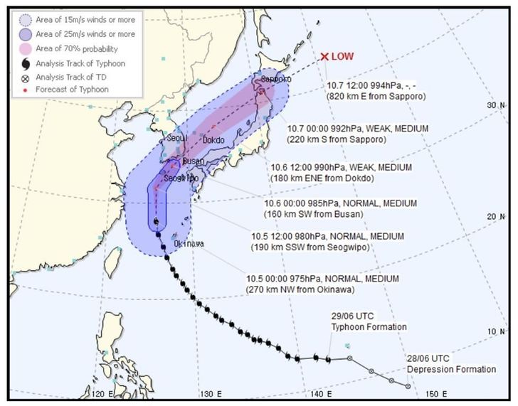
Typhoon Kong-rey's trajectory. / Captured from the KMA website
The typhoon, downgraded to “middle strong,” had an atmospheric pressure of 975 hPa at its center and a maximum wind speed of 115km per hour within a radius of 420 kilometers.
“The high pressure in the North Pacific Ocean shows signs of moving northward, giving the typhoon more room to travel upward,” a KMA official said. “If that happens, it's possible the typhoon could make landfall in Busan, travel on land and out to the East Sea.”
There will be strong winds and heavy downpours that are expected to cause damage on Jeju Island and the southern peninsula. Rain is expected to hit most of the country throughout the weekend, according to the KMA.

Prime Minister Lee Nak-yon, center, is briefed about the approaching typhoon at the Central Disaster Control Center in Seoul, Friday. / Yonhap
Meanwhile, the government has launched a central disaster control center to prepare for the typhoon.
Hundreds of ships were anchored on Jeju and in southern regions in preparation for the storm. Major mountains, camping areas and other recreational facilities in low-lying areas were shut.